Today we discuss permaculture design principle #12 – Collaborate With Succession.
The more that we can align our designs, systems and management styles with the inherent successional trends already present in our landscapes, the greater our yields will be with fewer resource inputs required. This is all about energy efficiency, and it starts with OBSERVING AND INTERACTING (Principle #1) with your landscape to identify the patterns that are already present. Your land is telling you what it wants to become, you just have to have the eyes to see it!
Show Resources
Getting started designing your homestead?
START HERE: Enroll in the Minimum Holistic Goal Creation Mini-Course today for free. This is the ONE THING that will make everything else easier or unnecessary on your homesteading journey! 100% Free
Upon completing this course you will have a crystal clear idea of who and what resources you have to work with, your desired Quality of Life that your homestead has to provide for, and what you will need to produce and the conditions required to sustain that production to meet your Quality of Life needs.
Need some help getting the “birds eye view” of your property and its surrounds to help you design your sovereign homestead?
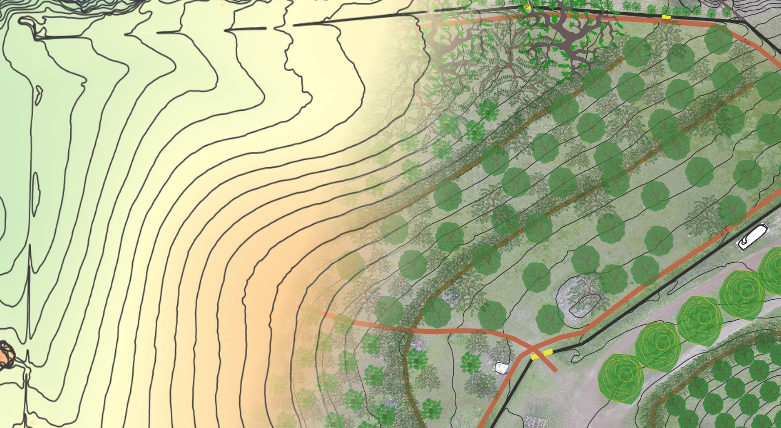
Check out our Hi-Definition Contour Base Map package. This package includes:
- Hi-definition LiDAR contour map layer (contour lines can spaced at whatever scale you desire – as tight as 1 foot or less if you desire).
- Aspect Map Layer – color-code your entire property by which direction it faces – very helpful in identifying ideal growing zones and microclimates for specific plantings.
- Hillshade Layer – for easily visualizing landform across your entire property.
- Slope Layer – color-code your entire property based on the % grade – very helpful for access planning, living systems establishment and site selection for buildings etc.
Deliverables include:
- Hi-definition .jpeg or .pdf of your entire property and/or its contributing watersheds, at whatever size you desire (if you wish to print a poster and have it laminated as an iterative design tool images can be generated at whatever size the poster shop will print).
- .KML file of the contour lines for importing and 3D viewing in Google Earth Pro (free to download) – this is a very helpful and accessible design tool.
We also offer consulting calls if you need some design help or a fresh perspective – see the Virtual Property Design Review for details.


