Today’s show is all about the things you have to do to get yourself onto your land quickly without shooting yourself in the foot withe improperly located or oriented structures and roads.
Vehicle access is basically an absolute necessity in today’s world. By their very nature, roads are a break from the inherent landform, and thus ALL ROADS CAPTURE AND MOVE WATER. This is just part of what a road does.
If you put in a road, or are inheriting a road without understanding that fact, you will pay for it later – all it takes is one good storm.
So today, in this first installment of the Making Landfall series, we’re zero-ing in on Water > Access > Structures – the three primary design layers that have to get sorted out quickly when you move onto a new landscape. Where am I going to live? How am I going to get to it? How will this affect and be affected by water moving through the landscape?
This show is about the essential things you need to do to get it right and not create a Type 1 Error that will hamper your efforts to create your sovereign homestead as long as it exists.
Show Resources
- Vehicle Access For Regenerative Landscapes – First Principles ~ the basic principles that guide planning and implementing vehicle access that has a regenerative effect on your site hydrology and ecosystem function.
- Vehicle Access For Regenerative Landscapes – Essential Terminology & Guiding Questions For Watershed Assessment ~ all the things you need to know and consider when assessing your landscape to plan efficient, low-maintenance, high-function vehicle access.
- Water Drainage Elements Index – blog post index of lesser-known cross drains and drainage elements more suited to regenerative water management.
- Don’t install ‘not my problem tubes’ unless you absolutely have to! Yeah, I’m talking about culverts here – I rarely see these done well, especially with regards to what happens with the water after it leaves the culvert. Perhaps try a rolling dip instead!
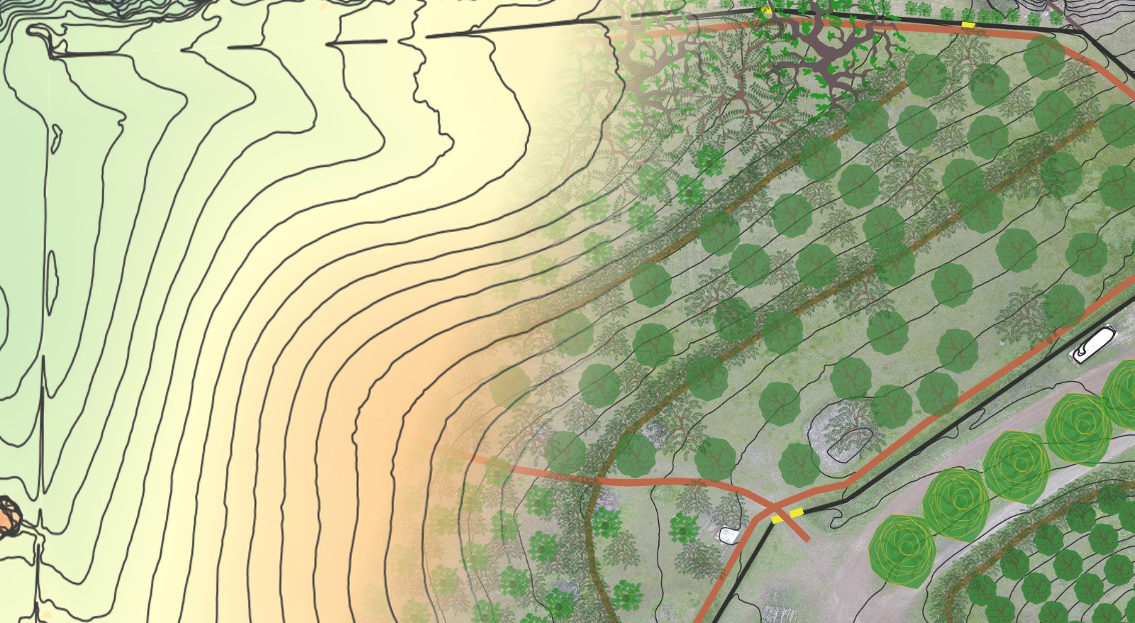
Need some help getting the “birds eye view” of your property and its surrounds to help you design your sovereign homestead?
Check out the Hi-Definition Contour Base Map package. This package includes:
- Hi-definition LiDAR contour map layer (contour lines can spaced at whatever scale you desire – as tight as 1 foot or less if you desire).
- Aspect Map Layer – color-code your entire property by which direction it faces – very helpful in identifying ideal growing zones and microclimates for specific plantings.
- Hillshade Layer – for easily visualizing landform across your entire property.
- Slope Layer – color-code your entire property based on the % grade – very helpful for access planning, living systems establishment and site selection for buildings etc.
Deliverables include:
- Hi-definition .jpeg or .pdf of your entire property and/or its contributing watersheds, at whatever size you desire (if you wish to print a poster and have it laminated as an iterative design tool images can be generated at whatever size the poster shop will print).
- .KML file of the contour lines for importing and 3D viewing in Google Earth Pro (free to download) – this is a very helpful and accessible design tool.
I also offer consulting calls if you need some design help or a fresh perspective – see the Virtual Property Design Review for details.


