Today is an expose about one of America’s dirty secrets – we’re talking about the nation wide biosolids program.
Supposedly its a great way to beneficially cycle a “renewable resource” to help fertilize crop fields, protect water sheds and keep people healthy.
In reality, its anything but – and we know from first hand knowledge because we lived with it right across the street from us for months.
For any would-be homesteader looking to re-locate to the country, be aware of the potential for biosolids in your watershed and potentially right across the fence (as in our case).
This is a huge problem, one that has resulted from a society and civil infrastructure built around the assumptions of a perpetual and never-ending supply of cheap energy. Now those chickens are coming home to roost, and its on us to fix it. First things first we have to learn just how extensive the problem of dealing with our own shit is so we can wrap our heads around what will be required to retrofit existing systems to make them work for a lower energy future.
Show Resources
- Actual EPA Laws & Regs: https://www.epa.gov/biosolids/biosolids-laws-and-regulations
- Plain English version (its 175 pages long – don’t get too excited): https://www.epa.gov/sites/default/files/2018-12/documents/plain-english-guide-part503-biosolids-rule.pdf
- EPA Propaganda Page for National Biosolids Initiative: https://www.epa.gov/biosolids
- PFAS Guide Doc: https://www.epa.gov/system/files/documents/2023-07/Joint-Principles-Preventing-Managing-PFAS.pdf
- The EPAs sheet on PFAS: https://www.epa.gov/pfas/pfas-explained
- EWG PFAS Factsheet: https://static.ewg.org/ewg-tip-sheets/EWG-AvoidingPFCs.pdf
https://thesovereignhomestead.com/soil-fertility-for-homesteads-vermicompost/ - Home Bio Gas Toilet – turn your sewage and food waste into methane gas for cooking and valuable and SAFE fertilizer for your garden: https://www.homebiogas.com/
_______________________________________________________________________________________
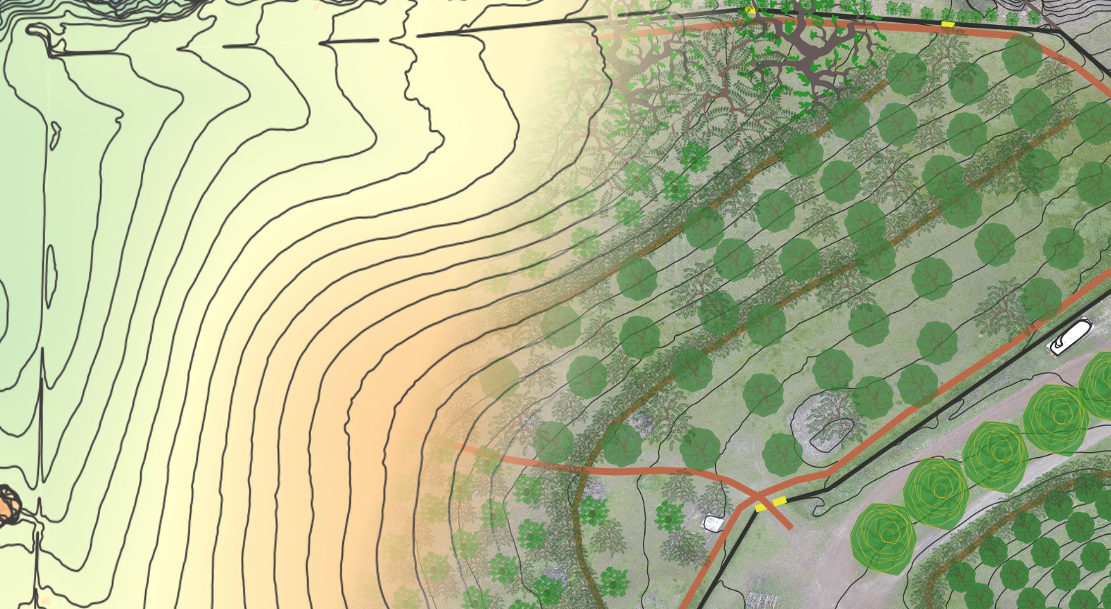
Need some help getting the “birds eye view” of your property and its surrounds to help you design your sovereign homestead?
Check out our Hi-Definition Contour Base Map package. This package includes:
- Hi-definition LiDAR contour map layer (contour lines can spaced at whatever scale you desire – as tight as 1 foot or less if you desire).
- Aspect Map Layer – color-code your entire property by which direction it faces – very helpful in identifying ideal growing zones and microclimates for specific plantings.
- Hillshade Layer – for easily visualizing landform across your entire property.
- Slope Layer – color-code your entire property based on the % grade – very helpful for access planning, living systems establishment and site selection for buildings etc.
Deliverables include:
- Hi-definition .jpeg or .pdf of your entire property and/or its contributing watersheds, at whatever size you desire (if you wish to print a poster and have it laminated as an iterative design tool images can be generated at whatever size the poster shop will print).
- .KML file of the contour lines for importing and 3D viewing in Google Earth Pro (free to download) – this is a very helpful and accessible design tool.
We also offer consulting calls if you need some design help or a fresh perspective – see the Virtual Property Design Review for details.


