Today we take a deeper look at Permaculture Design Principle #8 – Integrate, Don’t Segregate.
This principle is fundamentally about ‘stacking functions’ – a common term we hear a lot in perma-speak – but what does that really mean and HOW do you go about doing it?
We’ll talk nuts and bolts of creating functionally redundant systems, including:
- Segregation vs. integration, and the energetic costs of going down one path vs. the other in the design of your homestead
- How building functional redundancy into your systems leads to resiliency in the face of disruptive events, and how this can lead YOU to become a more anti-fragile person and thus have a more anti-fragile homestead.
- Why CONNECTION is the secret sauce for ‘stacking functions’
- HOW To Do It
- What Functional Design is – starting with functions first, and working towards the elements from there
- The importance of element location and orientation to maximize function.
- List all of the main functional categories a la the Permaculture Design Scale of Permanence.
Maximizing function is ALL about designing relationships between things, not so much the things themselves. Become a designer of connections between elements, and you’ll become a better human being in all ways.
Getting started designing your homestead?
START HERE: Enroll in the Minimum Holistic Goal Creation Mini-Course today for free. This is the ONE THING that will make everything else easier or unnecessary on your homesteading journey! 100% Free
Upon completing this course you will have a crystal clear idea of who and what resources you have to work with, your desired Quality of Life that your homestead has to provide for, and what you will need to produce and the conditions required to sustain that production to meet your Quality of Life needs.
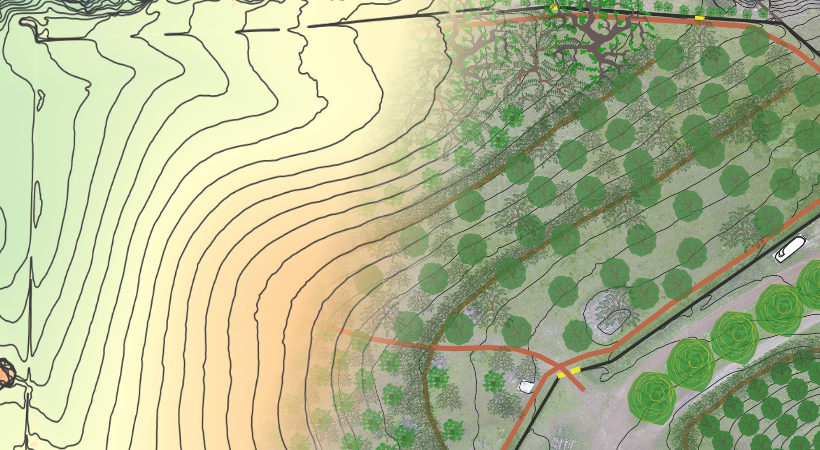
Need some help getting the “birds eye view” of your property and its surrounds to help you design your sovereign homestead?
Check out our Hi-Definition Contour Base Map package. This package includes:
- Hi-definition LiDAR contour map layer (contour lines can spaced at whatever scale you desire – as tight as 1 foot or less if you desire).
- Aspect Map Layer – color-code your entire property by which direction it faces – very helpful in identifying ideal growing zones and microclimates for specific plantings.
- Hillshade Layer – for easily visualizing landform across your entire property.
- Slope Layer – color-code your entire property based on the % grade – very helpful for access planning, living systems establishment and site selection for buildings etc.
Deliverables include:
- Hi-definition .jpeg or .pdf of your entire property and/or its contributing watersheds, at whatever size you desire (if you wish to print a poster and have it laminated as an iterative design tool images can be generated at whatever size the poster shop will print).
- .KML file of the contour lines for importing and 3D viewing in Google Earth Pro (free to download) – this is a very helpful and accessible design tool.
We also offer consulting calls if you need some design help or a fresh perspective – see the Virtual Property Design Review for details.
What Plants Crave T-shirts And Stickers!
Another fun way you can support the show AND start some fun and interesting conversations along the way. For those of you that have seen Idiocracy, you know what this is all about. For those of you that haven’t…watch this.


