Your cart is currently empty!
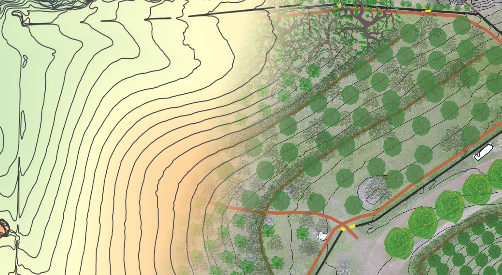
Foundational Site Assessment
~ Intake Questionnaire ~
This questionnaire helps us gather relevant information about your land to create the most useful site assessment possible.
The aim of the Foundational Site Assessment is to create a property owner’s “user manual” – a composite of the most critical nuts and bolts type information that will need to be referenced when making land management decisions for the future. This information will also help to identify the unique strengths, weaknesses, opportunities and risks – as well as the lowest hanging fruit – on the road to realizing beauty, abundance and prosperity in your home and surrounding landscape.
Please fill out as much as you know – and leave blank anything you don’t! If there are any major holes we will do our best to fill them in throughout the assessment and report development. If you know where that information is located but don’t know it off the top of your head we would be grateful if you could locate it and we can discuss it when we perform our site visit.